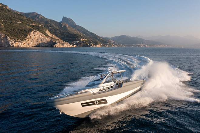
World’s No.1 Marine Charts for smart navigation and fishing

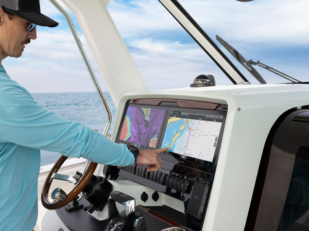
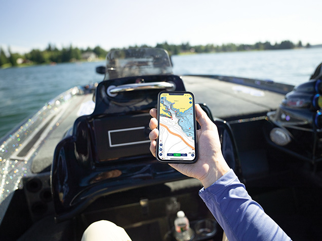
From coastal navigation to deep-sea fishing, Navionics® marine charts offer one of the most reliable and detailed cartographic experiences on the water.
Designed for both fishermen and boaters, these digital charts provide the accuracy and clarity needed to map out safer routes, find the best fishing spots, and navigate with confidence, no matter the conditions.

Built for safer navigation and better fishing decisions

Navionics charts give you really detailed maps for places along the coast, out at sea, and even inland. This means sailors can clearly see how deep the water is, key navigational data, what the shore looks like, and what's under the water.
The chart is really important for a couple of reasons. First, it helps make sure everyone can navigate safely. But it's also super helpful for people who like to fish, because it shows them exactly what the bottom of the sea looks like and how deep it is, so they know where to find lots of fish. When captains turn complicated ocean information into simple charts, they can understand what's happening more quickly and plan their trips better at each part of the journey.

Seamless compatibility with your chartplotter ecosystem

Navionics charts are designed to work on a wide range of chartplotters, making them a versatile solution for mixed fleets and multi-brand environments. Their dedicated integration with Garmin devices is complemented by compatibility with leading marine electronics brands such as B&G, Furuno, Humminbird, Lowrance, Raymarine, and Simrad.
This comprehensive compatibility enables sailors and fishing professionals to take advantage of the same high-quality marine data regardless of their onboard equipment, ensuring reliable navigation performance and a smoother transition when upgrading or replacing navigation systems.

Can’t find your solution ?

Contact us for information on solutions not shown – no solution is too small or too remote